Lilley Hoo: the open common and its racing past
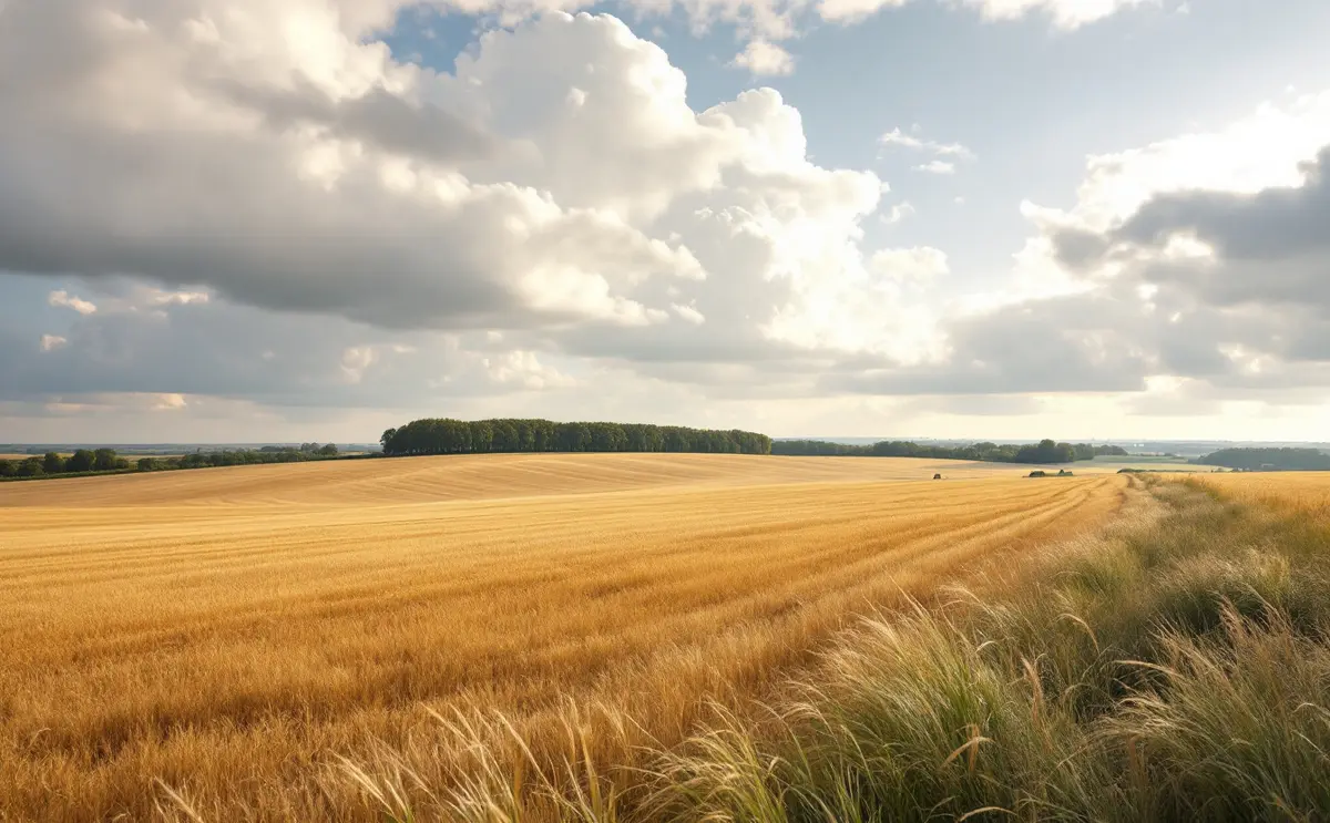
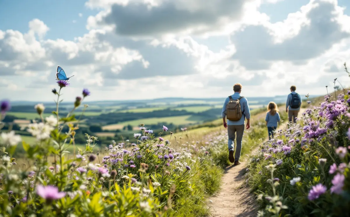
Stand on the Icknield Way near Telegraph Hill and look south-east, and the ground falls away in long, smooth folds of arable land. It looks like any other stretch of big chalk farmland in north Hertfordshire. For a long time it was something different: an open common, unhedged and unploughed, where crowds gathered to watch horses race across the turf.
This piece pulls together what the records say about Lilley Hoo, how far each claim can be trusted, and what a walker can still see. Some of the best stories about the Hoo come from a single local source, and I have tried to be plain about which those are.
A small parish with a large common
The Victoria County History, published in 1912, describes Lilley as a small parish of 1,795 acres on the Chiltern hills at the western edge of Hertfordshire, next to Bedfordshire. The land rises from about 400 feet in the south to 602 feet at Telegraph Hill in the north. The soil is chalk, and in 1905 most of the parish was arable, with a smaller area of permanent grass, no woodland, but many trees scattered across it.
The village runs for about a mile along Lilley Street, which climbs north-west from the Luton to Hitchin road towards the Icknield Way on the northern boundary. St Peter's church stands on the west side of the street.
The most important line in the VCH for our purposes is short. Lilley was enclosed by an Act of 1768, but Lilley Hoo, a large open common east of the village, was not enclosed and still survived when the history was written. In a county where enclosure redrew almost every parish between the mid eighteenth and early nineteenth centuries, a large common left open is worth asking about.
Why was the Hoo left open?
The VCH does not say why. A later account offers an answer. An article in the Icknield Way Association's newsletter in 2008 states that the Hoo was specifically exempted from the enclosure of 1768 to 1769, and that the reason was not the commoners' grazing but its use, as ancient common land, as a racecourse popular with the gentry of Hitchin.
This is plausible. Racing on open commons and downland was a normal part of country life in eighteenth-century England, and a meeting that drew landowners from nearby towns could carry weight when an enclosure bill was being drawn up. But I have not seen the Act itself or the award, so I cannot confirm that racing was the stated reason. If you want to test the claim, the enclosure papers for Lilley in the county archives are the place to start.
Racing on Lilley Hoo
According to the same 2008 article, the first race on the Hoo took place on Michaelmas Day 1693 for a plate of £30, advertised in the London Gazette. Entries had to be made the morning before at an inn in Silsoe, across the county boundary in Bedfordshire. The race was a four-mile contest for amateurs: gentlemen riding their own horses. The article goes on to say that the meeting became an annual fixture for about a century afterwards, eventually running over three days, with prizes of up to 100 guineas.
These are specific details, and they come from one secondary source. I looked for an independent confirmation of the 1693 notice and did not find one that I could check. The VCH says nothing about racing on the Hoo at all. So the fair way to put it is this: local historians record a long-running race meeting on Lilley Hoo through much of the eighteenth century, and they date its first appearance in print to 1693. The broad picture is consistent with what we know of country racing in the period. The exact details deserve a look at the original Gazette before anyone repeats them as settled fact.
It is also easy to see why the Hoo suited racing. Chalk drains quickly, so turf on high open ground stays firm when the valleys are soft. The Hoo stands high, so spectators could see a long way across it. And because it was common rather than enclosed farmland, there were no hedges to jump and no crops to damage. A four-mile course needs exactly that kind of open, unbroken ground.
Telegraph Hill and its name
The high point at the northern edge of the parish is Telegraph Hill, at 602 feet according to the VCH. The VCH gives the height but not the origin of the name.
The name records a short episode in the Napoleonic Wars. The Admiralty built chains of signal stations on hilltops to pass messages quickly between London and the naval ports. An earlier article in the Icknield Way Association's newsletter, from 1998, describes the line from London to Great Yarmouth, which used the shutter telegraph devised by Lord George Murray. Each station had a tall wooden frame on its roof with six shutters that could be opened and closed in combinations, read by telescope from the next station along the line. It lists Lilley Hoo among the stations closest to the Icknield Way, with Dunstable to the west and others eastward towards Cambridge and Newmarket.
The author quotes the Admiralty's surveyor of telegraphs reporting that the Yarmouth line was complete by June 1808, and records that the stations were sold off soon after peace was signed in 1814. Other accounts give different dates or describe the equipment as semaphore arms; the shutter version, tied to the surveyor's correspondence, is the better documented. On either account, the name Telegraph Hill is a souvenir of a few years when a hut on the Hoo was a link in the country's fastest communication system.
Mind the claim, sometimes repeated, that Telegraph Hill is the highest point in Hertfordshire. It is the highest point of Lilley parish. The county's highest ground lies elsewhere, on the Chilterns further west.
From beauty spot to farmland
The Hoo stayed open into the twentieth century. The 2008 newsletter article describes it in the 1920s as a popular place for day trippers from Luton and Hitchin, with cricket and picnics on summer weekends. It dates the end of the open common to 1946, when it was ploughed for the first time to grow food in the years after the war.
That date, again, rests on one account, but it fits the wider pattern. A great deal of old grassland across lowland England went under the plough during and after the Second World War, and very little came back. On chalk, the loss is particularly marked. Old unploughed chalk turf carries a mix of low flowers and grasses that takes a very long time to develop, and once ploughed and fertilised it does not return of its own accord.
Lilley's enclosure in context
Lilley was early among these villages to be enclosed. The 1768 Act came nearly thirty years before King's Walden's Act of 1796 to 1797, whose common was finally enclosed by award in 1802, and almost forty years before Offley's Act of 1807. The story of how enclosure and a shifting road reshaped King's Walden is told in why King's Walden sits a mile from its church.
The VCH's land-use figures for Lilley in 1905, mostly arable with no woodland, describe a parish already given over to the plough. The Hoo was the exception: the one large stretch of open, unhedged ground left in a parish of enclosed fields.
What a walker sees today
Most of Lilley Hoo is now farmland, so the old common is something you look across rather than wander over. Use only the public rights of way shown on OS Explorer 193 and the county council's rights of way map; the fields themselves are private.
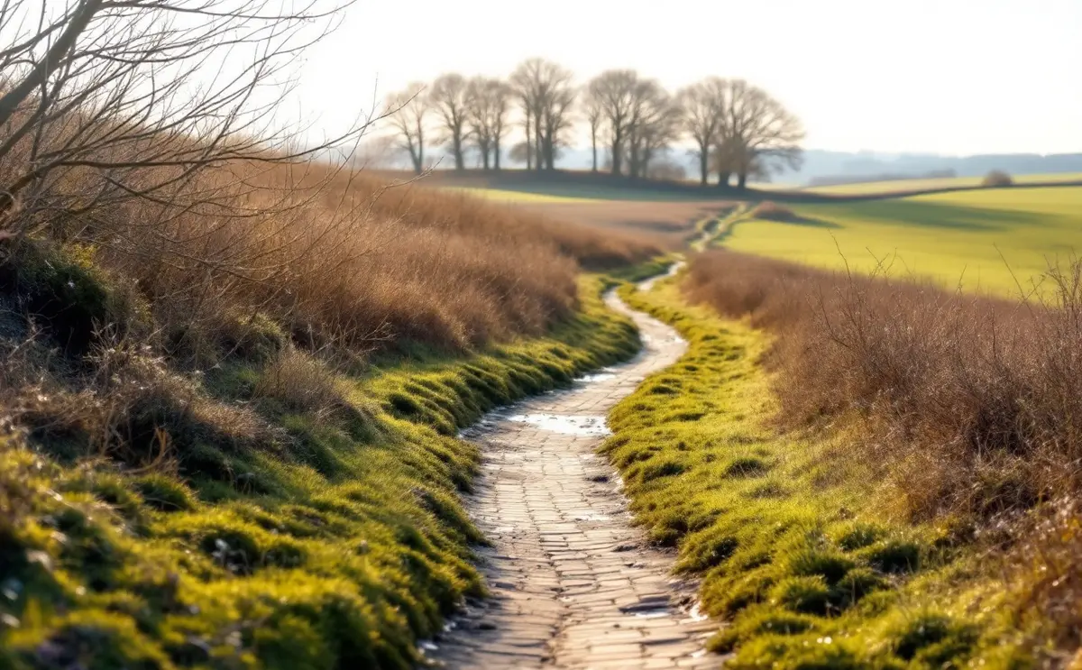
The Icknield Way runs along the northern edge of the parish, and the Icknield Way Path, a long-distance walking route, passes Telegraph Hill. The hill itself is a small nature reserve of chalk grassland and scrub, with old beech trees. Published descriptions mention rock-rose, salad burnet and common spotted orchid among its flowers, and from the top on a clear day you look out across Bedfordshire, with the Pegsdon Hills and Deacon Hill nearby across the county boundary. Here you can still get a sense of what the open turf of the Hoo may once have looked like.
From the Icknield Way, look south-east across the Hoo and notice its shape: high, broad and gently rounded, exactly the sort of ground that suited a four-mile race. Back in the village, St Peter's, Lilley is worth a look from outside even if it is locked. It was wholly rebuilt in 1871, but it keeps a twelfth-century chancel arch reset in the chancel wall and a fifteenth-century font, and the porch has a tablet to Thomas Docwra, who died in 1602. Check locally before visiting if you hope to go inside.
For a longer day, Lilley is within reach of the Offley parish paths to the east; the circular walk from Great Offley to Little Offley describes how to plan a loop in that country. Measure carefully: these are big parishes, and links between them add miles quickly.
Questions about Lilley Hoo
Can you still see the racecourse?
Not that I know of. The course ran over open turf, and turf leaves little trace once ploughed. No published survey I have seen identifies a surviving course line, so treat any suggestion of visible remains with caution.
What does "Hoo" mean?
Hoo is a common element in place-names around here: Offley Hoo lies in the next parish, and Luton Hoo lies south of Luton. Place-name scholars generally derive it from an Old English word for a spur or projecting piece of land, which suits a high, rounded tract like this one.
Is the Hoo open access land?
No. It is farmed land. Walk only on the public footpaths and bridleways shown on the map, keep dogs under close control near livestock, and follow the Countryside Code.
Where can I check the racing story?
Start with the London Gazette for 1693 and the Lilley enclosure papers held in the county archives. The Icknield Way Association has published several local history notes on the Hoo and Telegraph Hill, and they cite some of their sources.
The Hoo rewards a slow look. A field is rarely just a field on the chalk: this one has been a common, a racecourse, a signal post and a day out before it became wheat.

Nathaniel reads parish histories, enclosure maps and church walls with equal interest. He writes about manors, monuments, bells and what the evidence does and does not tell us.