Why King's Walden sits nearly a mile from its church
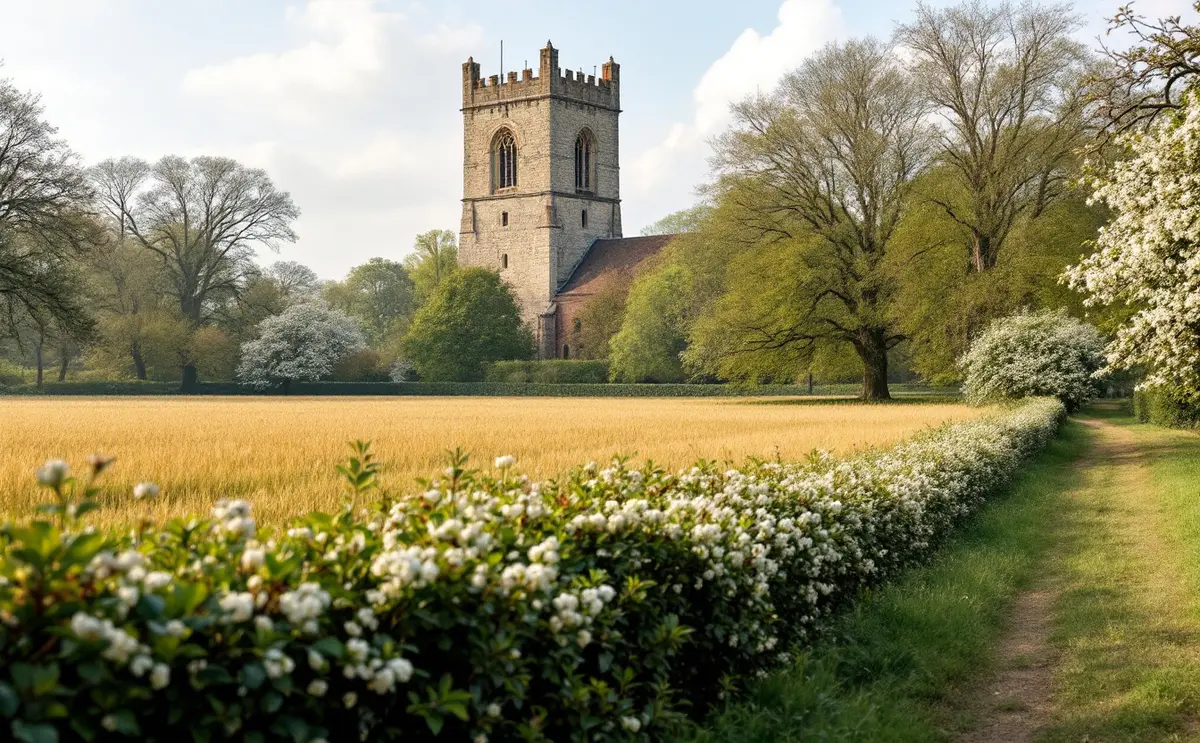
Visitors to King's Walden often notice the same odd thing. The church of St Mary stands among trees beside the big house of King's Walden Bury, with hardly a cottage near it, while the village itself lies some distance away along a road. Most English villages keep their church somewhere near the middle. Here the two have drifted apart.
This is not a mystery invented for a guidebook. The parish history in the Victoria County History, published in 1912, sets out an explanation, and the evidence for it can still be read on the ground. What follows is an attempt to separate what the records say from what we can reasonably infer, and to show a walker what to look for.
What the parish history says
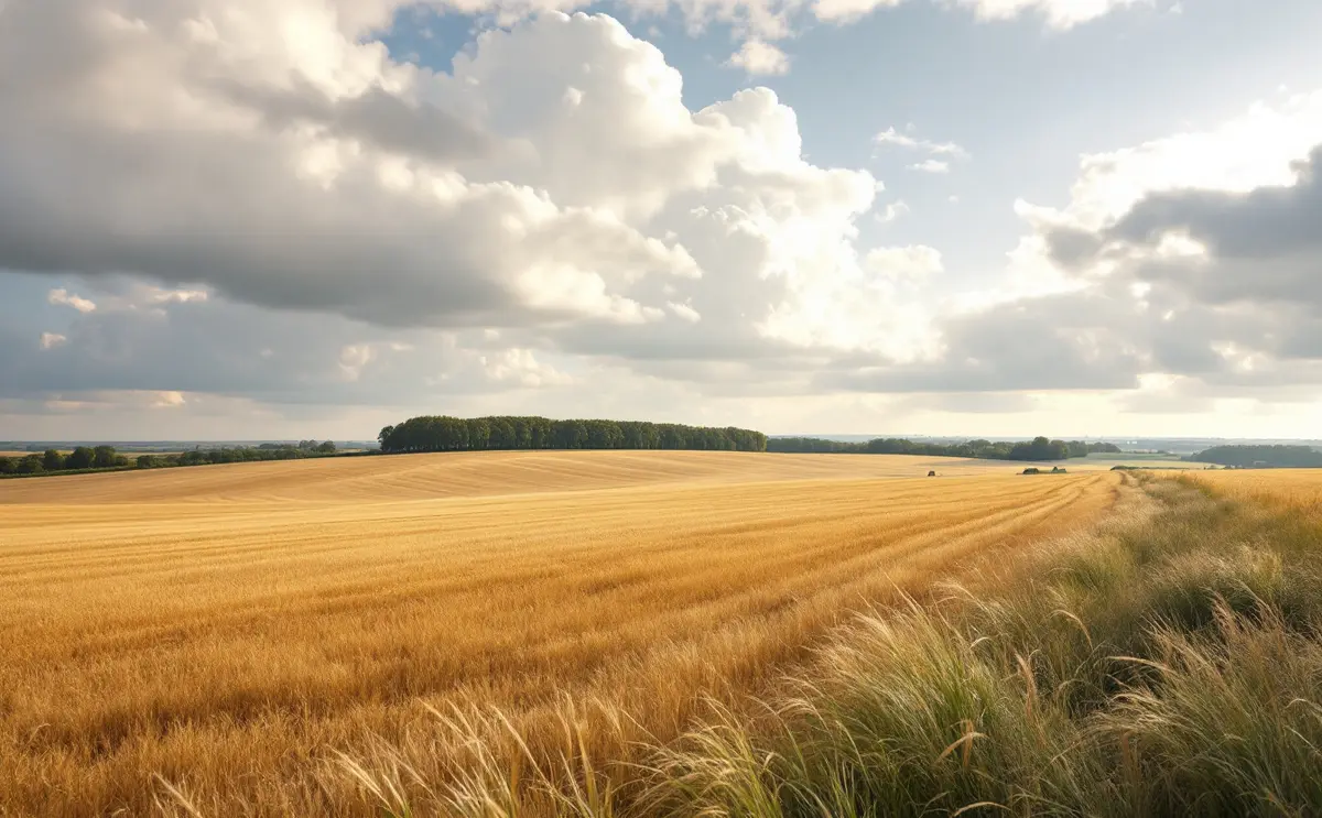
The VCH account of King's Walden is brief but direct. It describes a parish of about 4,392 acres on a spur of the Chilterns, standing at about 450 feet, with a gently rolling surface over chalk and corn as the main crop. Then it turns to the settlement.
In the VCH's reading, the earliest village was probably of the Saxon type, grouped round the church of St Mary and the manor house of King's Walden Bury, away from the road. At some later point the inhabitants moved out to the road, where a market would naturally be held, and the old site was abandoned. By the early twentieth century the village lay nearly a mile from the church and manor house, in two irregular lines of cottages along the road.
That is the whole of the argument in the source, and it is worth noticing how carefully it is worded. "Probably" is doing honest work. The VCH does not give a date for the move, and it does not cite excavation or documents that record people leaving. It infers the original arrangement from the position of church and manor, and it offers the market as the likely reason for the shift.
The old centre: church and Bury
The church and the manor house sit together, and that pairing is common across England. A lord built or endowed a church close to his hall, and tenants' houses gathered round both. When we find a church alone beside a great house, with fields where the cottages ought to be, one reasonable explanation is that the houses have gone.
St Mary's itself is old enough to fit. The VCH and later descriptions place the nave and chancel in the late eleventh or early twelfth century, with aisles and arcades added about 1190. The arcade capitals, carved with scallops, trefoils and the broad, plain leaf form called waterleaf, belong to that late Norman moment. The west tower followed about 1380. A church on this scale, enlarged in stages through the Middle Ages, was serving a community that was there to use it. Our guide to St Mary's, King's Walden walks through the building in more detail. The church may be locked; if you hope to see inside, check locally before you go.
The manorial history points the same way. The VCH records two small manors at Domesday, each of a single hide, both held before the Conquest under Earl Harold. They were later brought together in the middle of the fifteenth century. A manor house near the church, on the same ground for centuries, is the anchor of the old settlement.
Why move to a road?
A market needs traffic. Buyers and sellers have to be able to reach it, and carts need a road. A cluster of houses tucked away by the church and manor house, off the through route, was a poor place to hold one. The VCH notes that a Saturday market was held at King's Walden in 1795 and suggests that it may go back to a grant made in the thirteenth century, though the date of any first grant is uncertain.
It is easy to picture what may have happened. Traders set up where the road gave access. Houses grew along it, because a house on a market road could earn from passing trade in a way a house by the manor gate could not. Over generations the weight of the community shifted, until the old centre held little more than church, big house and farm. This is inference, not record, and I would not put a century on it. But it fits a pattern seen in other places where a market or a new road drew a village sideways.
A word of caution belongs here. Villages also shrank and moved for other reasons: changes in farming, a lord enlarging his park, falling population in hard centuries. The VCH chooses the market, and it is a sensible choice, but it is not the only possible story. What the record gives us is the outcome, the church and Bury alone, the village along the road. The mechanism is the historian's best guess.
The Hales at the Bury
For most of the period after the Reformation, King's Walden Bury belonged to one family. The VCH traces the manor through the Delamare, Dokesworth, Cobham and Burgh families until William, Lord Burgh, conveyed it in 1576 to Richard Hale. Hale had made his money as a grocer in the City of London, and he is remembered at the other end of the county too: he founded the grammar school at Hertford in 1617.
He died in 1621, and the estate then passed down the family. The VCH follows it from William Hale through a run of Williams and a Rowland, to Paggen Hale, who held it in 1742 and had no children, and on through a cousin to another William Hale, who held it in 1815. The line ended with Charles Cholmondeley Hale, who died in 1884. Inside the church, the family can be traced in its memorials, among them wall tablets to Roland Hale (1688) and Richard Hale (1689). For a closer look at the wording on memorials like these across the three parishes, see Words on the walls.
Nearly three centuries of one family at the Bury matter for the settlement question. A long-resident landowning family had every reason to keep the ground round the house private and parklike, and little reason to want cottages crowding up against it. Whether the Hales enlarged the grounds at the expense of any surviving houses near the church, the VCH does not say, and I have not found evidence that settles it. It is a question to hold open rather than answer.
The Harrisons and the later estate
After Charles Cholmondeley Hale's death the estate was sold to a Mrs Hinds, and in 1891 she sold it to Thomas Fenwick Harrison. When the VCH was written he was lord of the manor and lived at King's Walden Bury. That is where the 1912 account leaves the story. The house and park remain private, and the public sees them, as with most estates in this part of Hertfordshire, from the edges.
The name of the park helps in reading the map. The VCH places the hamlet of Ley Green north of "King's Waldenbury Park", which tells us the park was an established feature by the early twentieth century and a natural reference point for describing the parish.
Hamlets: a parish of scattered places
If the village moved once, the parish as a whole was never tidy. The VCH names Wandon End and Wandon Green on the western and southern borders, and Ley Green to the north of the park, with farmhouses and cottages spread between them. Today the largest settlement in the parish is Breachwood Green, to the south-west of King's Walden itself.
This scatter is typical of the Chiltern edge. Farms and groups of cottages grew up round greens and at road ends, each a small world of its own, rather than all gathering into one nucleated village. A parish that already worked this way may have found it easier to let its main village drift towards the road.
Enclosure: 1796 to 1802
The last great change to the old arrangement came with enclosure. The VCH dates the King's Walden Inclosure Act to 1796 to 1797, with the common finally enclosed by an award in 1802. Enclosure redrew the fields and extinguished common rights, replacing open land with fenced and hedged holdings allotted to named owners.
For the reader of the countryside, enclosure is the reason many hedges here are straight. Hedges planted to an award's surveyed lines tend to run in long, regular strokes, while older boundaries wander, follow the contour or kink round a vanished feature. Compare the two kinds on the map and you can begin to sort the older pattern from the newer one.
Reading it on the ground
You do not need a spade or an archive to see the story. A few things repay attention from public paths and roads:
- The isolation of the church. Stand where you can see St Mary's and notice what is not there: no street of cottages leading up to it, no green in front of it. The emptiness is the evidence.
- The relationship between church and Bury. The two sit close together. That pairing is what you would expect at the heart of an early manorial village.
- The shape of the present village. Two lines of houses along a road is a very different form from a cluster round a church. The VCH's phrase "two irregular lines of cottages" still describes the basic arrangement.
- Field boundaries. Look for straight enclosure hedges and for older, irregular ones. A line of old trees standing alone in a field can mark a boundary that was later removed.
- Earthworks. On some deserted or shrunken village sites, house platforms and old hollow ways show as faint humps and dips in grassland, especially under low winter sun. I know of no published survey of earthworks near the church here, so do not expect them, and never leave a public path to look.
The circular walk from Great Offley to Little Offley shows a similar pairing in the next parish, where the VCH also suggests the church and Offley Place mark the original settlement, with later building along the road. King's Walden is the clearer case, because the gap is wider.
What we still do not know
The honest summary is short. We know where the church and manor house stand, and we know where the village stands. We know there was a Saturday market in 1795, perhaps much older. We know the Hales held the Bury from 1576 until 1884, and that enclosure came between 1796 and 1802. What we do not have, from the printed sources at least, is a date for the move, a record of the houses that once stood by the church, or a clear account of how the park and the vanished cottages relate.
Those gaps are an invitation rather than a disappointment. Estate maps, enclosure plans and manorial records survive for many Hertfordshire parishes in the county archives, and they are the place where a patient reader might narrow the story down. Until then, the best evidence is the view: a medieval church among trees beside a great house, and a village that went to meet the road.

Nathaniel reads parish histories, enclosure maps and church walls with equal interest. He writes about manors, monuments, bells and what the evidence does and does not tell us.