A circular walk from Great Offley to Little Offley and back
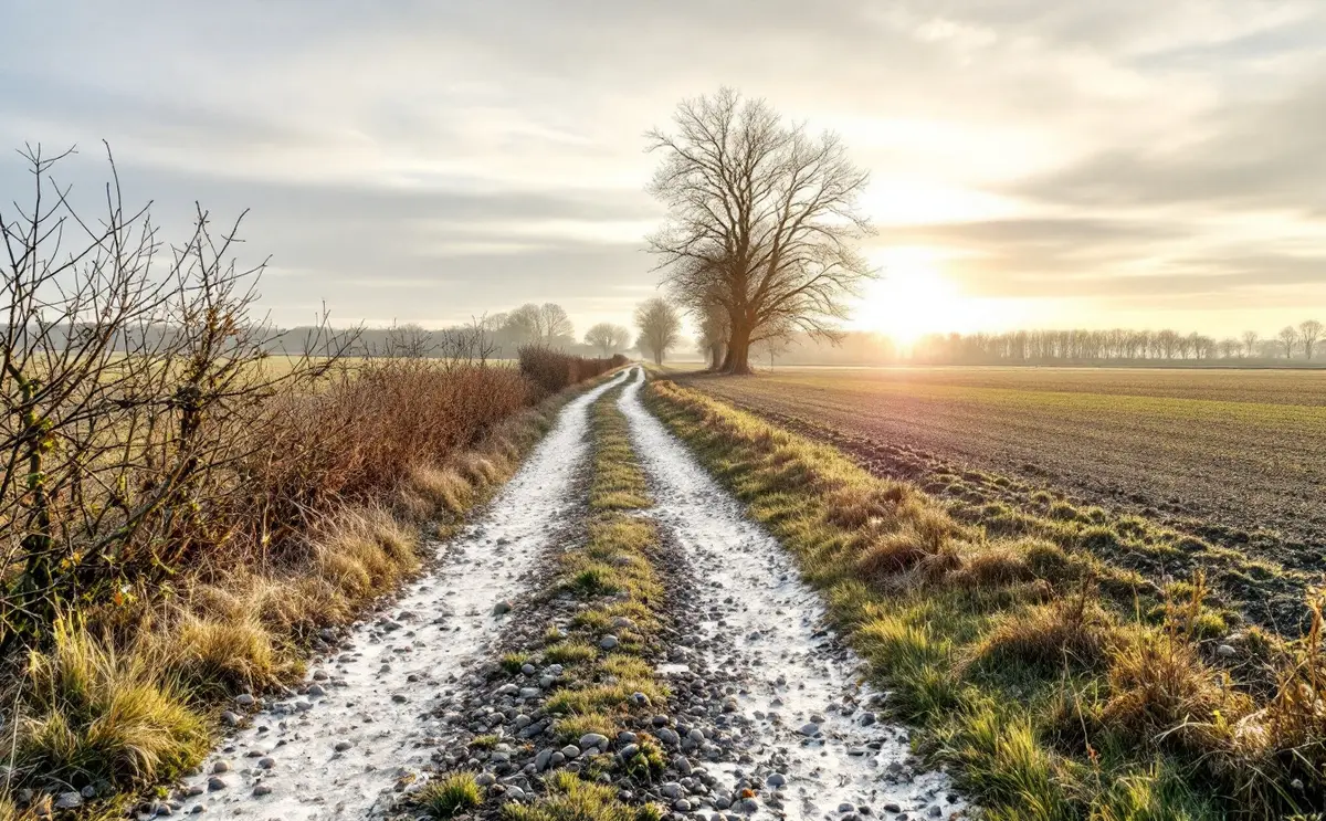
Great Offley sits on the high ground between Hitchin and Luton, and most people know it as the place the road climbs through on the way to somewhere else. Get off the road and the parish opens out into big chalk fields, old hedges and a scattering of farms and hamlets. The obvious short outing is a loop to Little Offley and back, a there-and-home walk with enough interest to fill a winter morning and enough mud to make you earn your lunch.
This is not a stile-by-stile route card. Path lines change, hedges are grubbed out or planted, and a description that tells you to turn left at a gate post is wrong the year someone moves the gate. What follows is the shape of the walk, what you will see from public land, and how to plan it on the map yourself. Treat the map as the authority and this page as the conversation you have before you set off.
The lie of the land
The Victoria County History, written about 1910, gives the bones of it. Offley is a large parish on the Chilterns, standing at about 400 feet and falling to about 224 feet at its eastern edge. The soil is chalk. Great Offley is near the middle of the parish; Little Offley lies about a mile and a quarter to the north-west; and the Icknield Way forms the northern boundary with Pirton. The parish church of St Mary Magdalene and the house called Offley Place stand together just off the high road, and the parish history suggests that this group, rather than the strung-out houses along the road, was probably the original village.
That straight-line gap of a mile and a quarter is the useful number. Any loop that goes out by one set of paths and comes back by another will be a good deal longer than twice that, because field paths rarely run straight. Most sensible lines you can draw on the map come out somewhere around 3 to 5 miles (roughly 5 to 8 km), depending on where you start and whether you include the church. Measure your own line with a piece of string or a map wheel before deciding how long to allow.
Before you set out
- Take OS Explorer 193 (Hitchin and Luton). Offley sits comfortably on it, but check where your line runs before you assume an extension stays on the sheet.
- Mark your chosen paths in pencil. Note where each one meets a lane, because those junctions are where you will check your position.
- Look at the date. February and November paths are a different proposition from June ones (more on that below).
- Check the rights of way map. Hertfordshire County Council keeps the definitive map of public paths and has an online version; if the Explorer map and the ground seem to disagree, the definitive map is the legal record.
- Decide in advance what you will do with the dog when you meet sheep or cattle.
Starting in Great Offley
Great Offley strings along the old road, so you will find a choice of public paths leaving the village. Pick the one that heads in the right general direction on your map and give yourself a few minutes to settle into reading the ground: where the hedges are, which way the fields slope, where the next lane crosses.
Before heading north-west, it is worth the short detour to look at the church and Offley Place from the road and from public paths. St Mary Magdalene is a flint and stone building with an unusual history. The chancel was rebuilt in 1777 and faced with Portland stone, and the tower was rebuilt in brick in the early nineteenth century with a small spire, so the building reads as medieval at one end and Georgian at the other. If you want to know what you are looking at, our guide to St Mary Magdalene, Offley covers the fabric in more detail. The church may be locked; if you hope to see inside, check locally beforehand.
Offley Place itself is a private house. The VCH describes a three-storey brick building with a seventeenth-century north wing and the rest rebuilt around 1770. You see it from the edge of things, over a wall or between trees. Stay on the public line and do not take a tempting track across parkland just because it looks well used.
Out across the chalk
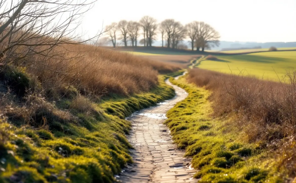
Once you are clear of the houses, the walk becomes what most walking in this parish is: field edges, headlands, the odd green lane and big skies. The VCH recorded in the early twentieth century that the parish had well over three thousand acres under the plough and six hundred acres of woods and plantations, and the proportions still feel roughly right from the path. You walk mostly through arable country with belts and blocks of woodland on the skyline.
A few things to look for along the way:
- Flints. After ploughing the fields glitter with them, white-skinned outside and dark glassy grey where they have broken. They are the reason the old buildings round here are faced the way they are.
- Hedge lines that do not match the present fields. A row of old trees standing alone in a field often marks a boundary that was taken out.
- Brown hares in the open fields in late winter and early spring, when they are easiest to see.
Navigation here is less about finding a path and more about not losing it. On a broad field edge the line is obvious. On a path that crosses the middle of a field, especially after ploughing or drilling, it can vanish. Take a bearing on the far side of the field from the map, or pick a tree or a gap in the hedge that lines up with the path, and walk to it.
Little Offley from the lane
Little Offley is a hamlet rather than a village, and its main interest for a walker is the old house. The VCH describes Little Offley as a two-storey brick house on an H-shaped plan, with the main block of the early seventeenth century and the wings added about a century later. A rainwater head on the north side carries the date 1695.
It is a private home, so look from the lane and from public paths only. You do not need to get close to appreciate the steep roofs and tall chimneys, and you should not try. Little Offley is about two miles north-west of the church by the VCH's measure, which is a reminder of how spread out this parish is.
The way back
Coming back by a different line is the whole point of a circular walk, and on this one the return is where people go wrong. You are walking towards a village you cannot yet see, across fields that look alike, with the light starting to go if it is a winter afternoon. Before you leave Little Offley, look at the map again and identify two or three things you should pass on the way home: a wood corner, a lane junction, a change in the direction of the hedge. Tick them off as you go.
If your route crosses or runs beside the main road, take it seriously. Traffic between Luton and Hitchin moves quickly, and a path that emerges onto a verge needs a careful look both ways and a short wait if the gaps are tight.
Adding the Icknield Way
For a longer day, the Icknield Way lies to the north, forming the parish boundary with Pirton. The Icknield Way Path, a long-distance route, follows this ancient line along the foot and shoulder of the Chilterns, and the stretch near here runs towards Telegraph Hill and the Pegsdon Hills. Linking an Offley loop to the Icknield Way turns a morning walk into a full day, so measure it carefully and check where the sheet edge falls before you set off.
Mud, by month
Chalk paths have their own moods. Here is a rough guide to what to expect underfoot, though a wet week will change it at any time of year.
| Months | Typical conditions | What to wear or carry |
|---|---|---|
| December to February | Ploughed edges and gateways turn to sticky, pale paste; cross-field paths may be hard to see | Boots with a deep tread, gaiters, a map you can read in poor light |
| March to April | Drying on top but still soft at gateways; crops starting to show the path line | Boots; allow extra time if it has rained |
| May to July | Mostly firm; tall crops and nettles can crowd narrow paths | Long trousers, water, sun protection on open fields |
| August to September | Hard and dusty; stubble or freshly worked ground after harvest | Lighter boots or trail shoes, water |
| October to November | Mud returns with the first heavy rain; leaf-covered paths under trees can be slippery | Boots, a torch for short afternoons |
Waymarks and what they mean
Hertfordshire uses the standard coloured arrows. Yellow marks a public footpath, for walkers only. Blue marks a public bridleway, which walkers share with horse riders and cyclists. Purple marks a restricted byway, open to walkers, riders and horse-drawn vehicles, and red marks a byway open to all traffic. White arrows, where they appear, usually mark a permissive path that a landowner allows but could close.
A waymark tells you the direction the path leaves a junction, not where it goes after that. Use the map to confirm. If a path has been ploughed, the county council's guidance is that landowners must reinstate it within a set time after ploughing, and that field-edge paths should not be ploughed at all. If you find a path blocked or missing, report it to the county council rather than forging a new line across a crop.
Dogs, livestock and the Countryside Code
Most of this walk is through arable land, but you may meet sheep or cattle on some paths. The Countryside Code asks you to keep a dog on a lead around livestock, to give animals plenty of space, and to keep dogs on the path. If cattle threaten you and your dog, the official advice is to let go of the lead and get yourself to safety; a dog can outrun a cow, and you cannot.
The rest of the code is simple good manners. Leave gates as you found them. Stick to the marked route, even where it is muddy. Take your litter home, and bag dog mess and take the bag with you. Farmers are working in these fields; a tractor coming along a headland needs room to pass.
How long to allow
Chalk mud slows everyone down, and so does stopping to look at an old house or a hare. Work out your distance from the map, then use our walk timer, which applies Naismith's rule, to get a starting estimate. Add a margin for winter conditions and for a short day's light. If you are new to planning walks like this, the rucksack page lists the kit and books worth taking.
A loop to Little Offley is not an epic, but you come home having seen how the parish fits together: the church by the old manor, the village pulled out along the road, the outlying house alone among the fields. A decent return for a few miles of chalk.

Hugh walks the footpaths and bridleways of the Chiltern edge with a paper map in a plastic sleeve. He writes about routes, stiles, mud and the kit that earns its place in a daypack.