Reading an OS Explorer map on the Chiltern edge
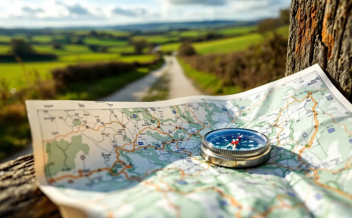
The country round King's Walden, Offley and Lilley is not the sort of place where people get lost in the dramatic sense. Lilley Hoo is not mountain-rescue country. But it is very easy to get lost in the ordinary sense: to come out of a wood on the wrong side, follow a tractor track that looks like a path, or find yourself at a field corner with three gates and no idea which one is yours.
A paper map, read properly, sorts most of that out.
The sheet you need
The Ordnance Survey Explorer series is drawn at 1:25,000, which means 4 centimetres on the map is 1 kilometre on the ground. At that scale you can see individual field boundaries, which is exactly what you need on farmland.
Explorer 193 covers this area. Its title names Luton, Stevenage, Hitchin and Ampthill, and the three villages sit on it comfortably. Check the edges of the sheet against your route before you set out, because walks have a way of starting on one map and finishing on the next.
Before anything else, unfold the map and read the key panel. Ordnance Survey revises its symbols from time to time, and the legend on your own sheet is the final word on what each line means.
Rights of way and what you may do on them
In England a public right of way is a legal route, and the colour of the waymark arrow on the ground tells you which kind you are on. On Explorer maps public rights of way are printed in green. Hertfordshire County Council keeps the definitive map of rights of way for the county, and the OS sheet shows the routes as recorded when it went to press.
| Type | Who may use it | Waymark colour | On the Explorer map |
|---|---|---|---|
| Public footpath | Walkers | Yellow | Short green dashes |
| Public bridleway | Walkers, horse riders, cyclists | Blue | Longer green dashes |
| Restricted byway | Walkers, riders, cyclists, horse-drawn vehicles, no motor vehicles | Plum | Its own green symbol (see the key) |
| Byway open to all traffic | Everyone, including motor vehicles | Red | Its own green symbol (see the key) |
Two cautions. The map shows the right of way, not the state of the path. A footpath across a ploughed field is still a footpath, even when the farmer has not yet reinstated it, and the Countryside Code asks you to keep to the line even when it is muddy. And paths are sometimes legally diverted. If the waymarks on the ground send you a different way from an older map, the waymarks are usually right.
Some tracks are drawn in black on the map with no green over them. These are physical features, a farm track or a drive, and do not by themselves give you any right to walk there. The same goes for field edges that look as if they ought to be a path.
Long-distance routes are shown by a line of small green diamonds alongside the path symbols. Around here you will see them on the Icknield Way Path and the Chiltern Way, both of which use ordinary rights of way. Our guide to the Icknield Way from Lilley to Telegraph Hill follows one stretch of the first.
Access land and permissive paths
Open access land, where you may walk freely rather than only along a path, is shown on Explorer maps with a yellow tint. These parishes are mostly arable farmland, so check for the tint rather than assume that a grassy hillside or common is open to wander over.
Permissive paths are routes a landowner allows the public to use. They are shown on Explorer maps but not Landranger, and the permission can be withdrawn. Respect any notice on the ground.
Contours on gentle chalk
The orange-brown lines are contours, joining points at the same height above sea level. On most lowland Explorer sheets they are drawn every 5 metres, with heights printed along them at intervals. Check the key on your edition.
In mountain country contours crowd together into dark bands. On the chalk they are wide apart for long stretches, and that tells you something too. Lilley parish, for example, rises from about 400 feet to 602 feet at Telegraph Hill in the north, according to the Victoria County History. That is a climb of a little over 60 metres, or roughly a dozen contour lines, spread across the whole width of the parish.
What to look for:
- Where contours bunch, the ground is steep. Expect a proper climb, and expect a chalk path to be slippery after rain.
- Where contours form a V or U pointing uphill, you are looking at a valley. Many chalk valleys are dry, with no stream marked, so do not expect water at the bottom.
- Where a V or U points downhill, it is a spur or ridge.
- A small closed loop marks a hilltop.
If you know the ground should fall away to your left and it falls away to your right, you notice quickly.
Field boundaries, woods and other clues
At 1:25,000 the map shows field boundaries as fine black lines. It does not usually tell you whether a boundary is a hedge, a fence or a ditch, and hedges have been planted and grubbed out over the years, so treat them as a guide rather than a promise. Woods are shown in green with small tree symbols, and their edges change less than hedges do, which makes them the most reliable landmarks in farmland.
Counting boundaries works well. If the path crosses three fields before it meets the wood, and you are crossing your fifth, something has gone wrong.
The grid and six-figure references
The pale blue lines across the map are the National Grid, drawn at 1 kilometre intervals. Each line has a two-digit number printed in the margin. The lines running up the sheet are eastings, numbered from west to east. The lines running across are northings, numbered from south to north. This whole area sits in the 100 kilometre square with the letters TL, which are printed on the map.
Ordnance Survey's own reminder is "along the corridor and up the stairs": give the easting first, then the northing.
To give a six-figure reference:
- Find the square your point is in. Take the easting of the line on its left side and the northing of the line along its bottom.
- Imagine each side of the square divided into ten.
- Estimate how many tenths across from the left your point is. That is the third digit of the easting.
- Estimate how many tenths up from the bottom it is. That is the third digit of the northing.
As a made-up example, not a particular landmark: a point in the square whose bottom-left corner is easting 12 and northing 27, four tenths across and seven tenths up, has the reference TL 124 277. Six figures pin a spot to within 100 metres, which is enough to tell a friend which stile you are sitting on.
Taking a bearing
You do not need a compass for most walks here, but it earns its place in fog, in the middle of a big field with no visible path, or at a junction where the waymark post has been knocked flat. A baseplate compass, the flat transparent kind with a rotating dial, is the one to learn on.
- Lay the compass on the map with one long edge joining where you are to where you want to go, and the direction-of-travel arrow pointing towards your destination.
- Turn the dial until the orienting lines inside it run parallel to the grid lines going up the map, with the N on the dial pointing to the top of the map.
- Check the map margin for the difference between grid north and magnetic north. In this part of England it has been small for some years, but use the figure for your edition.
- Take the compass off the map, hold it flat in front of you, and turn your whole body until the red end of the needle sits inside the orienting arrow.
- Walk where the direction-of-travel arrow points, picking a tree or gatepost on that line and walking to it.
Keep the compass away from phones, car keys and the steel gate you are leaning on. They all pull the needle.
The app or the paper
The Ordnance Survey app and other mapping apps show your position as a dot, which is useful at a confusing junction, and recent paper Explorer sheets come with a code for a digital copy. But batteries drain in the cold, screens are hard to read in rain, and a small screen shows very little of the country around you.
A sensible arrangement is the paper map in hand for planning and reading the land, and the app as a check when you are unsure. Plan the walk on paper the night before, measure the distance with the romer scale or a piece of string, and then put it into our walk timer, which applies Naismith's rule to estimate how long the walk will take, climbs included.
Kit for the map reader
No particular makes are named here and none have been tested for this piece.
Map case
A clear, waterproof map case with a cord, sized to take a folded Explorer sheet, keeps the map dry and readable. The alternative is the laminated weatherproof edition of the sheet, which is heavier and stiffer but needs no case.
Compass
A baseplate compass with a liquid-filled dial, a long straight edge and romer scales for 1:25,000 and 1:50,000 does everything needed on the Chiltern edge. A magnifier set into the base is handy for reading small print on a grey afternoon.
Poles, if you like them
Walking poles are optional on chalk, but some walkers find them useful on steep, slippery downland slopes after rain. A pair of aluminium trekking poles is a sturdy choice for occasional use.
Questions walkers ask about map reading
What if a path is blocked?
Hertfordshire County Council deals with rights of way problems. You may take a short detour round an obstruction where it is safe, but do not wander across fields to get round it.
Where should a beginner practise?
A known route is ideal. Our circular walk from Great Offley to Little Offley is a good one to practise on: walk it with the map in hand, ticking off each hedge and junction, and you soon learn how the symbols match the ground.

Hugh walks the footpaths and bridleways of the Chiltern edge with a paper map in a plastic sleeve. He writes about routes, stiles, mud and the kit that earns its place in a daypack.