The Icknield Way from Lilley to Telegraph Hill, and what to wear on chalk
As an Amazon Associate I earn from qualifying purchases.
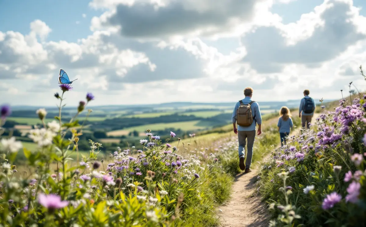
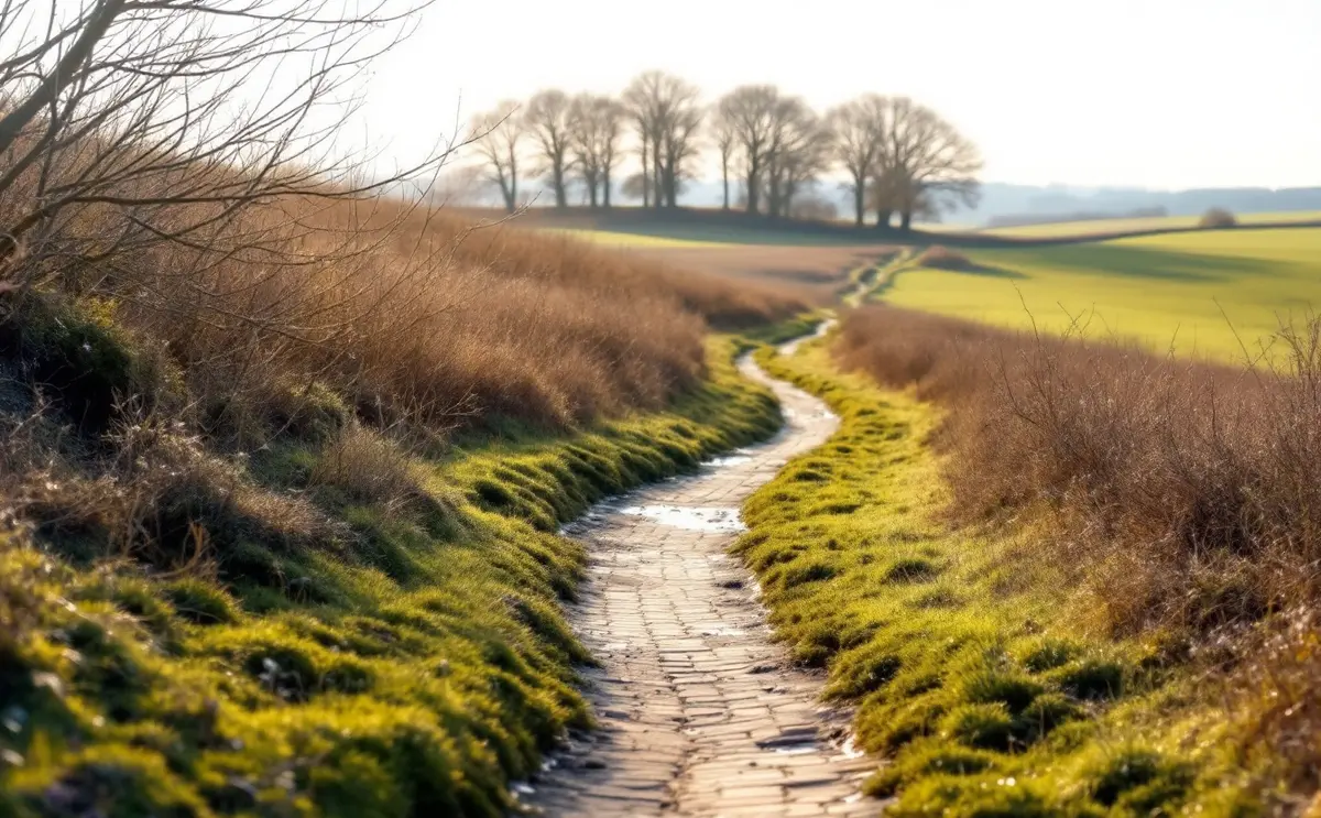
There is a particular sound a boot makes on wet chalk. It is not a squelch, which is what clay does. It is more of a slither with a squeak at the end, and it usually comes a fraction of a second before you sit down. The Icknield Way between Lilley and Telegraph Hill will teach you that sound in March, and it is a fair introduction to walking on the chalk generally: wide views, old tracks, flints like broken crockery, and a surface that changes character with every shower.
This piece is in two halves. The first is about the route itself, the old road and the modern path. The second is about what to put on your feet and in your pack, because on this stretch the right kit makes the difference between a pleasant afternoon and a long one.
The old road
The Icknield Way is usually described as one of the oldest routes in Britain, a line of travel running along the foot and shoulder of the chalk from the Thames valley towards East Anglia. The chalk drains well, so a dry-footed way along it makes sense, and the name is ancient. How far it was ever a single, planned prehistoric highway is another matter. Some historians have argued that it is better thought of as a band of local tracks, braided and shifting, that later writers tidied into one road. Walking it, you can see both views. In places it is a single sunken lane between banks. In others there are two or three parallel tracks a field apart, any of which might have been the way.
Here it matters for a plainer reason too. The Icknield Way forms the northern boundary of Lilley parish, as it does for Offley, which says something about how long it has been a fixed line in the country. Parish boundaries tend to follow things that were already there.
The modern path
The Icknield Way Path is a long-distance walking route of about 110 miles from Ivinghoe Beacon in Buckinghamshire to Knettishall Heath in Suffolk. At its western end it meets the Ridgeway National Trail, and at its eastern end the Peddars Way, so you can, if your knees allow, walk along chalk and sandy heath from Wiltshire to the Norfolk coast. The Icknield Way Path itself is not a National Trail. It is promoted by the Icknield Way Association, which was set up in the 1980s to keep the walking route close to the line of the old way, and it was recognised by the local authorities along its length in the early 1990s. Look for the waymarks with a little Neolithic hand-axe on them. There is also a longer Icknield Way Trail for horse riders and cyclists, which explains the hoofprints.
Lilley up to Telegraph Hill
Lilley sits on the western edge of Hertfordshire, with Bedfordshire close by. The parish rises from about 400 feet near the village to 602 feet (about 183 metres) at Telegraph Hill in the north, and that climb is the walk in a nutshell: a gradual pull up from the valley, then a broad, exposed top with the land falling away north towards the Bedfordshire clay vale.
I am not going to give turn-by-turn directions. Paths get diverted, gates move, and a paragraph on a website is a poor substitute for the map. Take OS Explorer 193 (Hitchin and Luton), check where your route meets the sheet edge, and follow the waymarks. The path is shown clearly on the map, and the Icknield Way Association publishes its own route notes, including a circular from Lilley that takes in Telegraph Hill and Lilley Hoo. If you want to know more about that big open stretch east of the village, there is a separate piece on Lilley Hoo and its racing past.
Telegraph Hill
The name comes from the Napoleonic Wars, when the Admiralty ran a chain of shutter telegraph stations between London and Great Yarmouth, passing messages from hilltop to hilltop by opening and closing boards in a frame. One stood on this summit. Sources disagree on the exact years it worked, but it was early in the nineteenth century and the line closed when the wars ended. Nothing of it stands now. You get the view instead, which is the reason they chose the spot.
The hill itself is chalk grassland and scrub with some old beech trees, managed for wildlife. In early summer look for rock rose and salad burnet in the short turf. The Icknield Way runs straight over it.
The Pegsdon Hills and Hoo Bit
Just over the county boundary in Bedfordshire are the Pegsdon Hills and Hoo Bit, a nature reserve of about 79 hectares run by the Wildlife Trust for Bedfordshire, Cambridgeshire and Northamptonshire. It is part of the Deacon Hill Site of Special Scientific Interest and lies within the Chilterns National Landscape. The ground is steep: deep coombes, chalk banks and grassland with old cultivation terraces (strip lynchets) on some slopes. Hoo Bit was once a larch plantation and is now a grazed, flower-rich meadow ringed by trees. Along the county boundary runs a deep earthwork marked by big, many-stemmed beeches.
The Trust's guidance is short and sensible: the reserve is open at all times, the paths are steep and uneven, and dogs must be on a lead. The grassland is grazed, so expect livestock.
The ground underfoot
Chalk tracks behave in three ways.
When dry, in a good summer, they are a pleasure. Firm, pale, fast. The flints are the only hazard, and only if you wear thin soles.
When wet, they are slippery, especially where the chalk is exposed on a slope. The top layer turns to a sort of grey paste over a hard base, and that combination is worse than plain mud. Steep chalk banks, the kind you meet coming off the Pegsdon slopes, are the worst of all after rain.
When churned, where horses and bikes use the same line in winter, the track becomes ruts and puddles with flints in the bottom. You will see walkers picking along the edge of the grass, which is fine if it is still on the right of way.
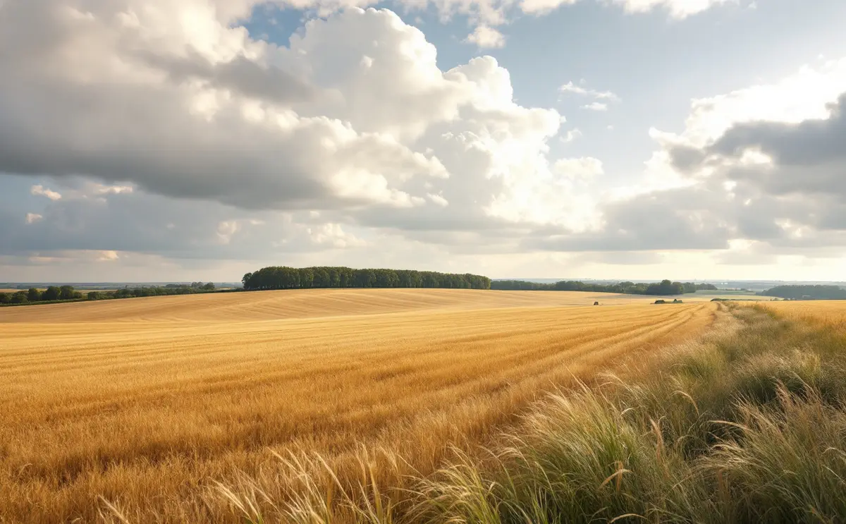
Then there is the weather on the tops. Telegraph Hill is not mountain country, but the top is open and the wind comes across the vale with nothing to stop it. It can be still and mild in Lilley and noticeably colder up there. Plan for that.
What to wear and carry
Footwear: boots or walking shoes?
Both work. The question is mainly the season.
- Boots with ankle support and a deep-lugged sole are the better choice from late autumn to early spring. They keep your feet drier in puddled ruts, and the extra support helps on wet chalk banks where your foot can slide sideways. Waterproof membranes are worth having in winter.
- Walking shoes are lighter and cooler for a dry summer day, and many people prefer them on firm tracks. Choose a sole that is reasonably stiff, because sharp flints come through soft trainer-type soles.
- Whatever you wear, the tread matters more than the height. A smooth or worn sole on wet chalk is how people end up with grey stripes down their trousers.
Gaiters
On this stretch in winter, gaiters earn their place. They stop mud and water coming over the top of your boots in the ruts, and they keep your trouser legs from turning into chalk-caked flannel. Short gaiters are enough for most days. Longer ones help if you are pushing through wet grass in spring.
Poles
Poles are not essential here, but they are useful on the steep chalk banks, particularly coming down. A pole planted ahead of you on a slippery slope takes a surprising amount of weight off your knees and gives you a third point of contact when your feet start to go. Lightweight carbon poles with quick locks are pleasant to carry and quick to adjust between up and down. Aluminium poles are heavier but tend to bend rather than snap if you lean too hard on one in a rut, which some walkers prefer. Either sort folds away on the flat sections where you do not need them.
Map and compass
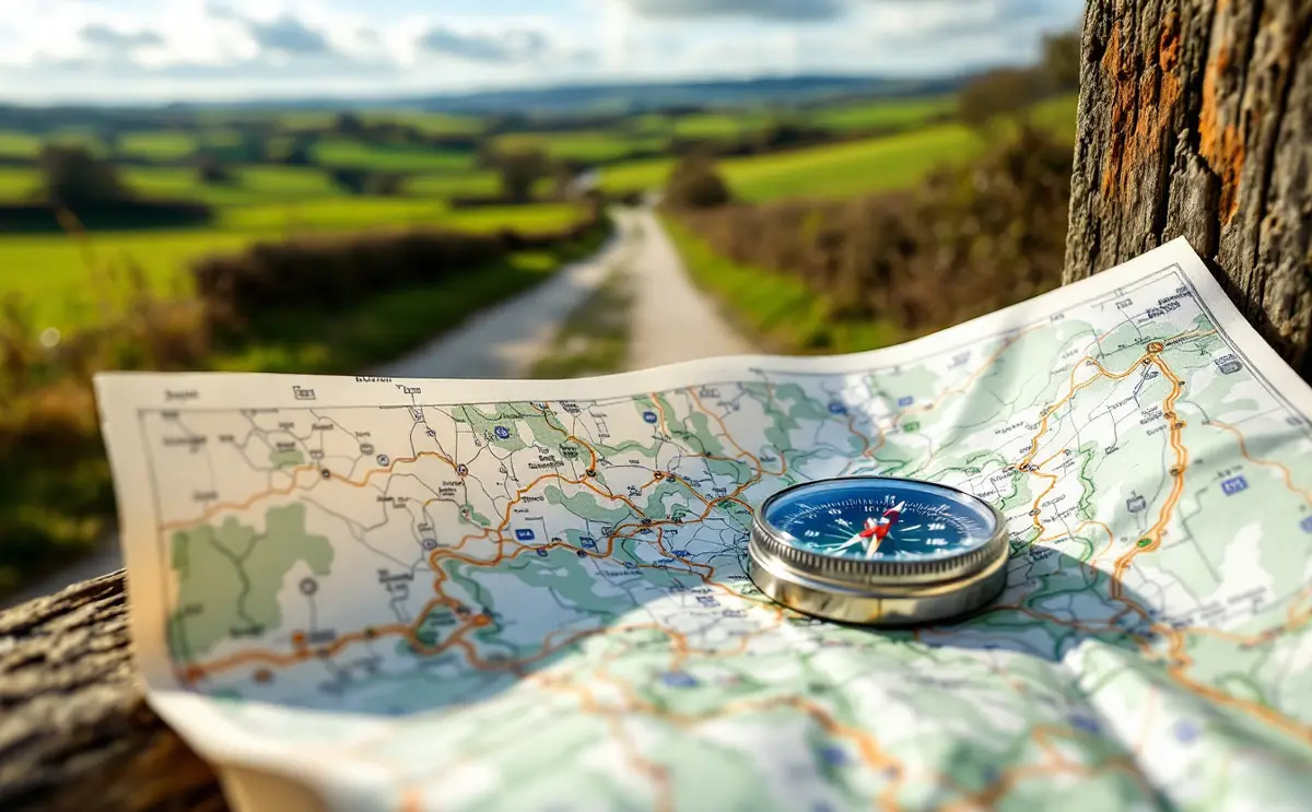
Take the paper map, OS Explorer 193, and a basic baseplate compass. Phones are useful, but batteries go flat in the cold and signal is patchy on the tops. A map also shows you the shape of the ground, which tells you where the steep bits are before you reach them. If you are new to reading one, practise on an easy section first.
Layers
Dress for the top, not the village.
- A wicking base layer, not cotton.
- A fleece or light insulated layer for stops on the hill.
- A waterproof, windproof jacket, even on a fine morning.
- A hat and thin gloves outside high summer. The wind on Telegraph Hill is good at finding exposed ears.
- Spare socks in a plastic bag if the forecast is wet.
The small things
Water, even in winter. A snack. A small first aid kit with plasters for heels. A bag for rubbish. A torch in the short days, because the light goes early in December and January and the tracks are hard to follow in the dusk. There is a fuller list on the rucksack page.
Timing it
Distance is only half the story on a route with a climb. Add time for the ascent to Telegraph Hill and more for the steep ground at Pegsdon, and more again in winter mud, where your pace can drop sharply. The walk timer uses Naismith's rule to add time for height gained, which is a reasonable starting point. Then add a margin for looking at the view.
Questions walkers ask about this stretch
Is it suitable for children?
The tracks are fine for older children who are used to walking. The steep slopes at Pegsdon need care in wet weather, and the exposed top can be cold, so dress them well.
Can I take a dog?
Yes, on rights of way, but keep it under close control. On the Pegsdon reserve dogs must be on a lead, and there may be livestock on the grassland. Ground-nesting birds use these fields in spring; there is more on that in the piece on farmland birds between Offley and Lilley.
When is it at its best?
Late spring and early summer for flowers and skylarks, autumn for clear views. Winter is good if you like mud and have the gaiters to prove it.
Where do I park?
Use proper car parks or park considerately in the village, never across field gates or in passing places. Farm traffic needs the access.
Go once in summer and once in February. It will feel like two different walks, and you will understand why the old road kept to the chalk.

Hugh walks the footpaths and bridleways of the Chiltern edge with a paper map in a plastic sleeve. He writes about routes, stiles, mud and the kit that earns its place in a daypack.